This article is adapted from AQ’s special report on Latin America’s demographic transformation
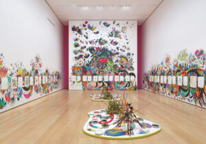
During Venezuela’s oil boom in the ‘70s, the country’s thriving art scene became fertile ground for experimentation. Among the new forms taking root was conceptual art, a global movement that prized the ideas behind a work and sought to de-commercialize the art world by focusing on process over product. Venezuelan artist Claudio Perna (1938–1997) rode that wave, engaging in radical artistic endeavors that would define his career.
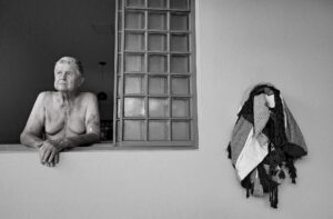
A geologist by training, Perna explored themes of nationhood, identity and territory. Now, a quarter century after his death, Perna is featured in a solo exhibition at the Institute for Studies on Latin American Art (ISLAA) in New York. This new presentation highlights his use of various media, from self-portraits and photocopies to scribbled notes, polaroids and, in perhaps the most compelling series, collaged maps.
In these, Perna turns traditional maps of Venezuela into collages that layer images, texts, photos, metaphors and ideas. This way, he questions nations as fixed forms with hard borders, and presents them instead as in flux, shaped by memory and personhood and rooted in experience.
In “Les Plus Sauvages—Colombia,” for example, he overlays various elements on a map of the country: a Coca-Cola-style logo that reads “Colombia,” and portraits of Sigfredo Chacón and Eugenio Espinoza, two well-known Venezuelan artists. In “República de Venezuela—Mapa ecológico,” Perna places images of Greek manuscripts, ancient ceramics, and other forms of European art over a national map. Together, these works express the many influences that Perna believes make up a territory and its collective memory.
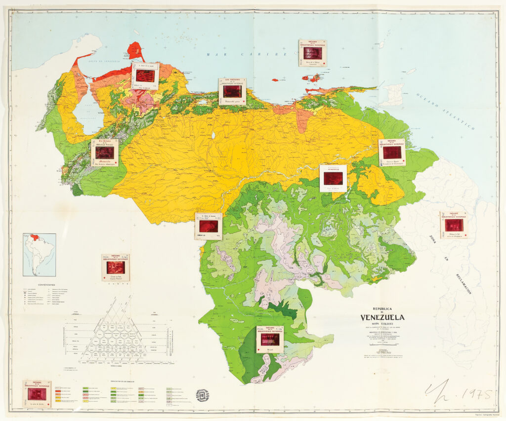
Maps are political statements in and of themselves, reflecting the power, or lack thereof, of those who draw them to define borders and determine sovereignty. But Perna’s collaged maps also tell a story: a history of the personal, cultural and political forces that influenced Venezuela before the turn of the millennium. These map-based collages were compelling when first made, from 1968 to 1990, but the arc of history has since layered new meanings onto them, and many still resonate today as Venezuela once again endures rapid political change. Its depictions of Venezuela’s oil industry, its cityscapes and coastal mountain ranges, the country’s cultural ties with Colombia, and the long-lasting U.S. influence are all echoes that persist today.
Perna’s work with maps shows us surprising new ways of understanding what we thought we knew. He also invites us to reflect on their impact: How has the Venezuela depicted in Perna’s maps been transformed since their creation? What parts of the current landscape, people, assets, texts and memories can express to future generations what Venezuela means in our time? How will the country’s identity evolve as it transforms once more?
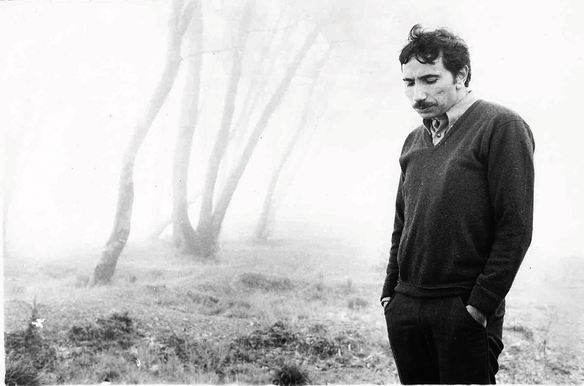
In another one of his series, “Alineamientos,” Perna photographs different settings across La Guaira, a coastal city near Caracas. Though the photographs at first seem unposed, they are purposefully staged: A photocopied printout of Perna’s hand is strategically placed in every frame. By inserting himself into the landscape, Perna once more makes us question how place and people converge—and how deeply the human desire to arrange, control and order the world shapes the settings we inhabit.
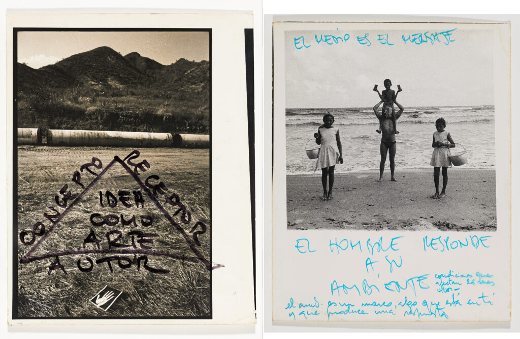
Toward the end of the exhibition, a photograph of a family on the beach is inscribed with a message: El hombre responde a su ambiente (“Man responds to his environment”). The phrase captures Perna’s interest in viewing place itself—the ground, the landscapes and everything passing through them—as raw material for art. By using the archive as his medium, from portraits and photographs to documents, press clippings, handwritten notes, and maps, Perna portrays nations as kaleidoscopic creations that are both fixed and fluid, continuously shaped by each new moment in time.
ABOUT THE AUTHOR

Miranda Mazariegos
Reading Time: 3 minutesMazariegos is an editor at AQ.
A Brazilian Artist Exalts in Color at New York’s MoMA
Tadáskía explores transformation and the power of community as the first artist to paint the museum’s walls.
A Fresh Look at Frida Kahlo
A new documentary reintroduces the iconic Mexican artist to a younger generation.